Archive for the ‘National Parks 2006’ Category

Day 6 (Another day driving and sightseeing)

Thursday, May 4th, 2006

Well today was mostly spent driving. We did stop at two national park sites. We drove to Devil’s Tower National Monument and Little Bighorn Battlefield

welcom to wyomingwelcome to devils tower

We took the back way into Devil’s Tower. This took us over the edge of the black hills. This presented us with a view of the monument through Ponderosa pine trees. It was a different view that most people won’t get a chance to see, because they want to take the direct route.

We stopped at the visitors center to get our stamp and then took a 1.5 mile hike around the base of the tower. As we walked around the tower, we noticed how each side of the tower is different.

The trail was not crowded at all. There were maybe ten others walking, and they were walking the opposite direction, so we passed them once and then not again until we came back around to the beginning of the trail. This was a very peaceful walk. We walked back to the visitors center and purchased a picture book of the tower.

Along the trail you are supposed to be able to see a part of a ladder that was originally used to climb the tower.

ladder sign

It is virtually impossible to see. I took a zoomed photo and if you enlarge it about three times more, you can see it. Let me know if your actually able to see it. You can download the image by clicking here.

Back on the road, we headed up the freeway to our next stop; Little Bighorn Battlefield.

welcome to montana
welcome to little bighorn

We thought we would not make it in time, but we arrived with just enough time to visit the battlefield and the visitor center’s exhibits and get our passport stamp.

The battlefield is bigger than I thought it would be. And I now have a better understanding of how events unfolded. I never really understood how the battle took place, just that nobody survived under Custer’s command. The battlefield has markers to show you where soldiers and warriors fell in battle. The majority of Custer’s troops are buried on “last stand hill”. This is where they fell. There is a monument on top of the grave that lists all of the members of the 7th Calvary that died. Another thing I did not know, was that the battle took place over two days, not just the few hours I learned about in school. So much for that state education.

We headed back up the freeway to the next “big” town. That town would be Billings. We checked into our hotel, got our free homemade cookies, then headed out to dinner. We decided to go with the chain restaurants, so we ended up at Olive Garden. On the way back to the hotel, Angie wanted dessert so we stopped at Dairy Queen.

Day 5 (Faces in Stone)

Wednesday, May 3rd, 2006

Got up this morning and ate breakfast. Mmmm, love those waffles. We headed out to see the Gutzon Borglum museum. This was a self guided tour about the man and the history of the mountain. This really is a must see activity.

Jewel Cave

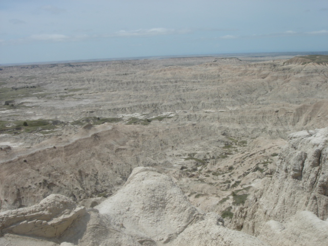
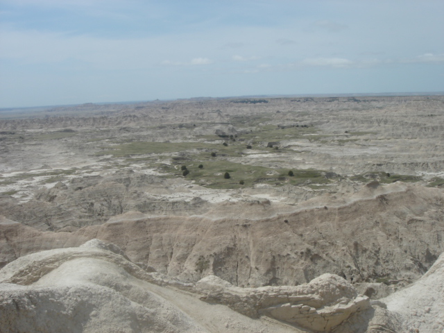
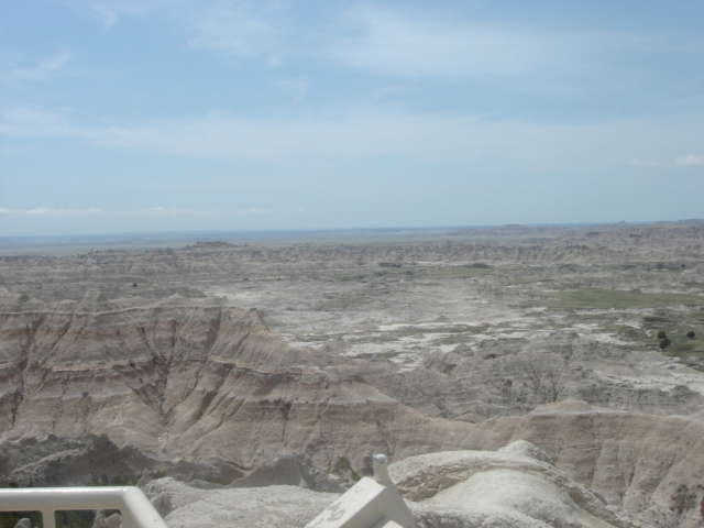
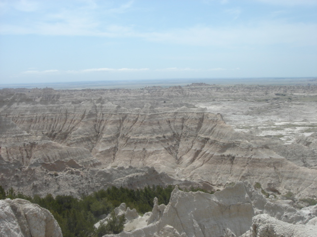
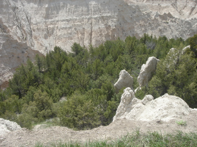
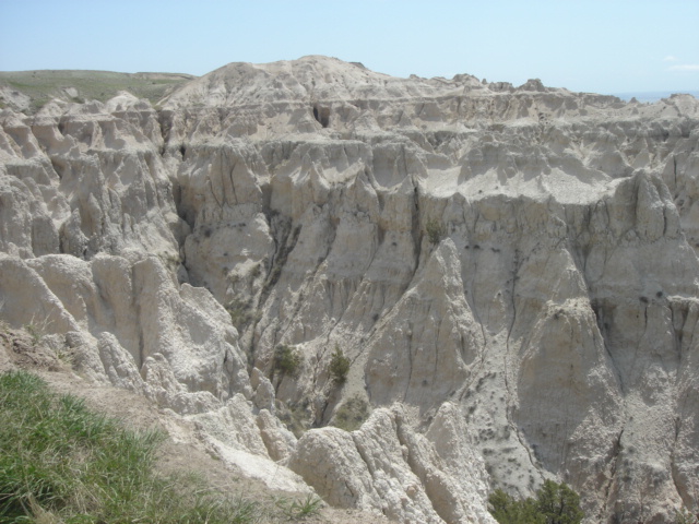
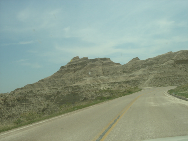
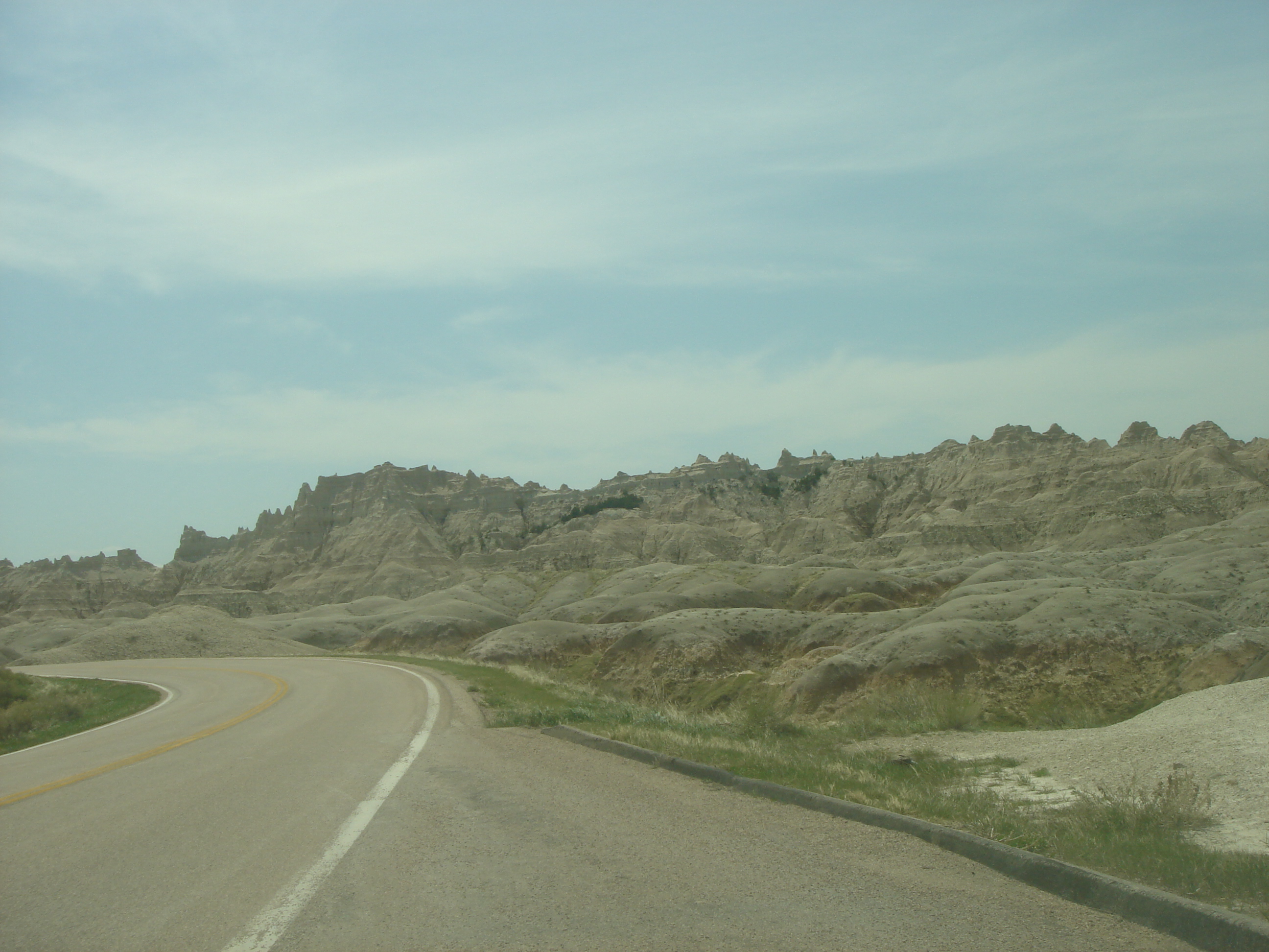
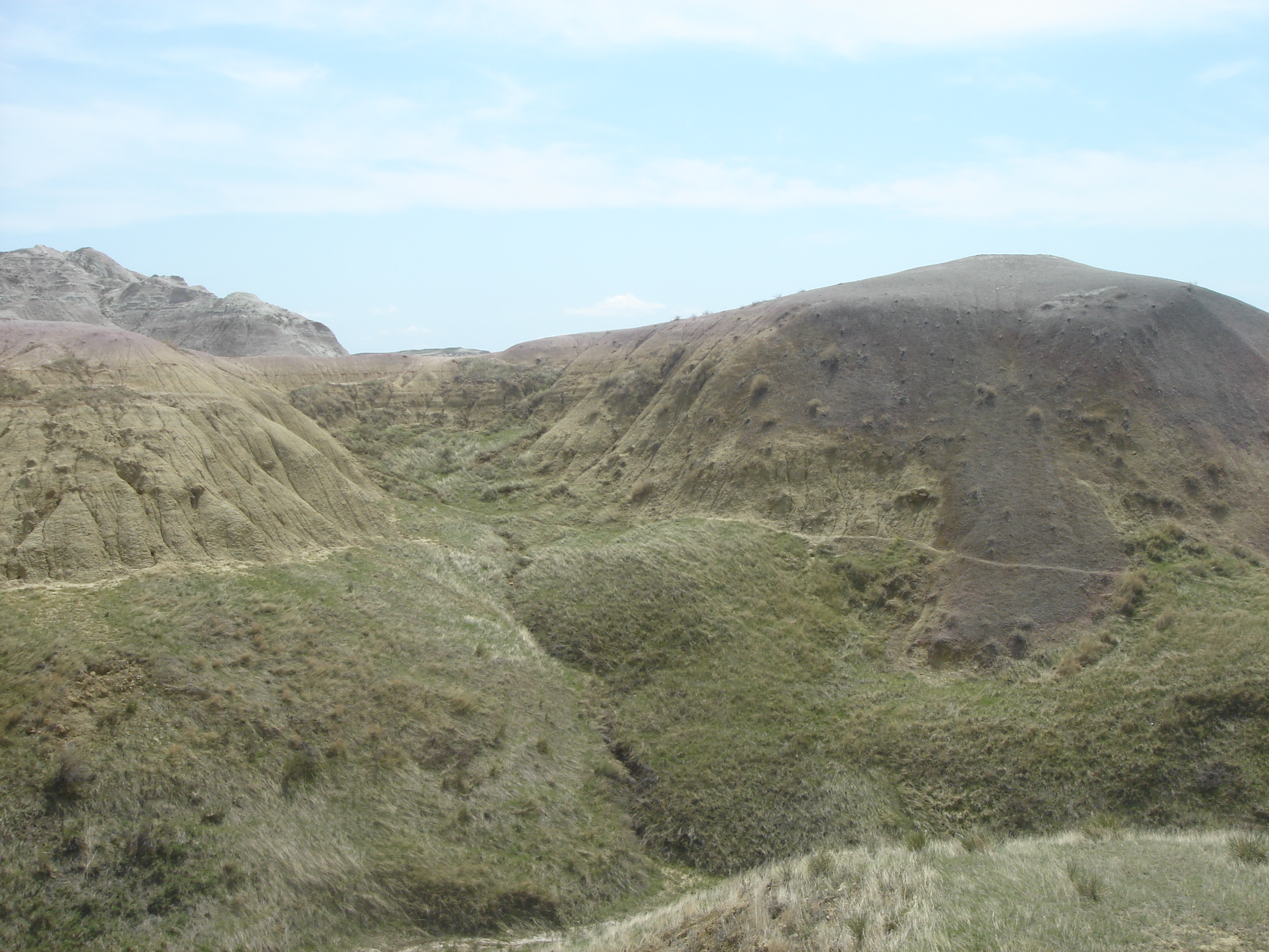
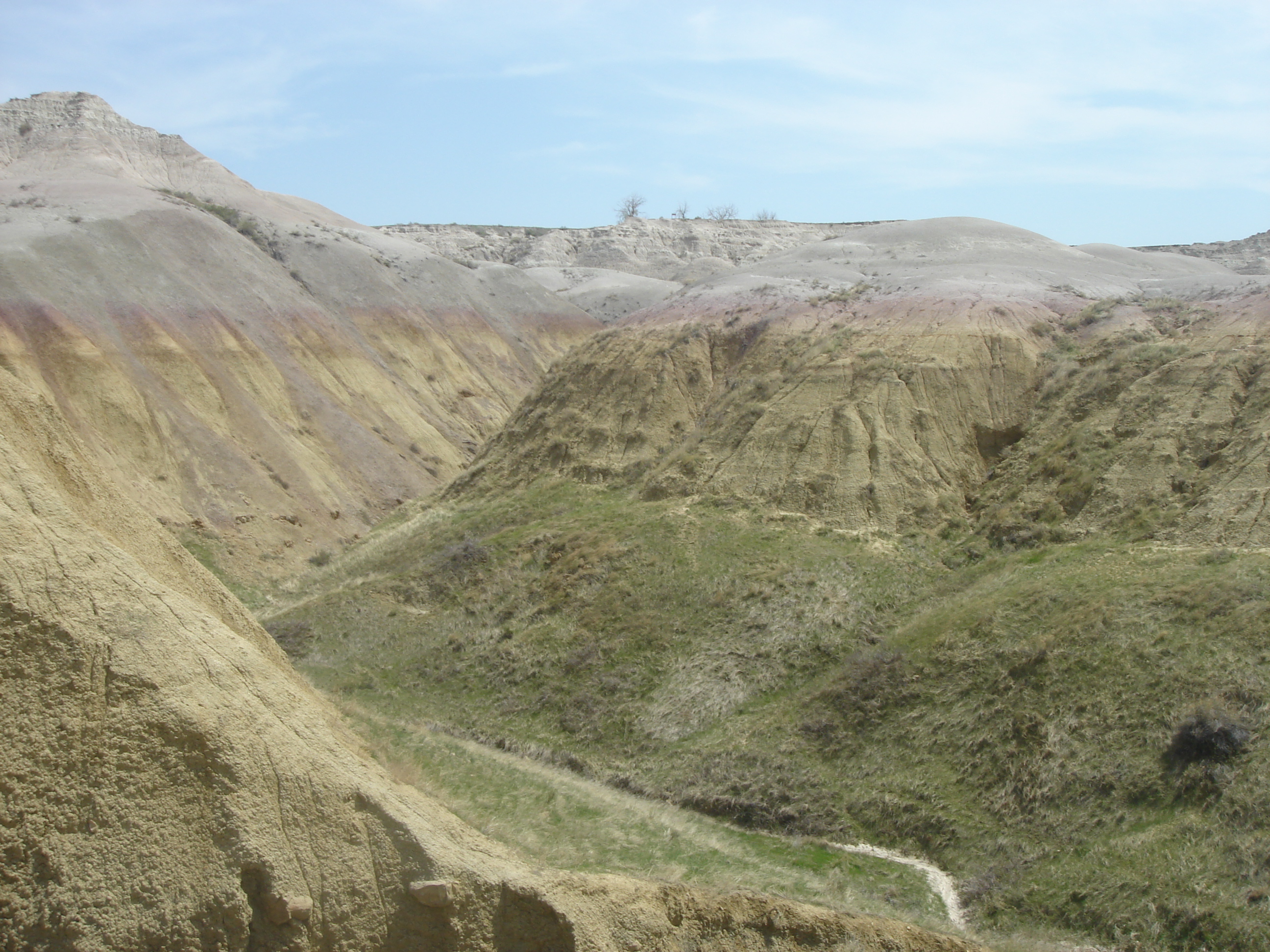
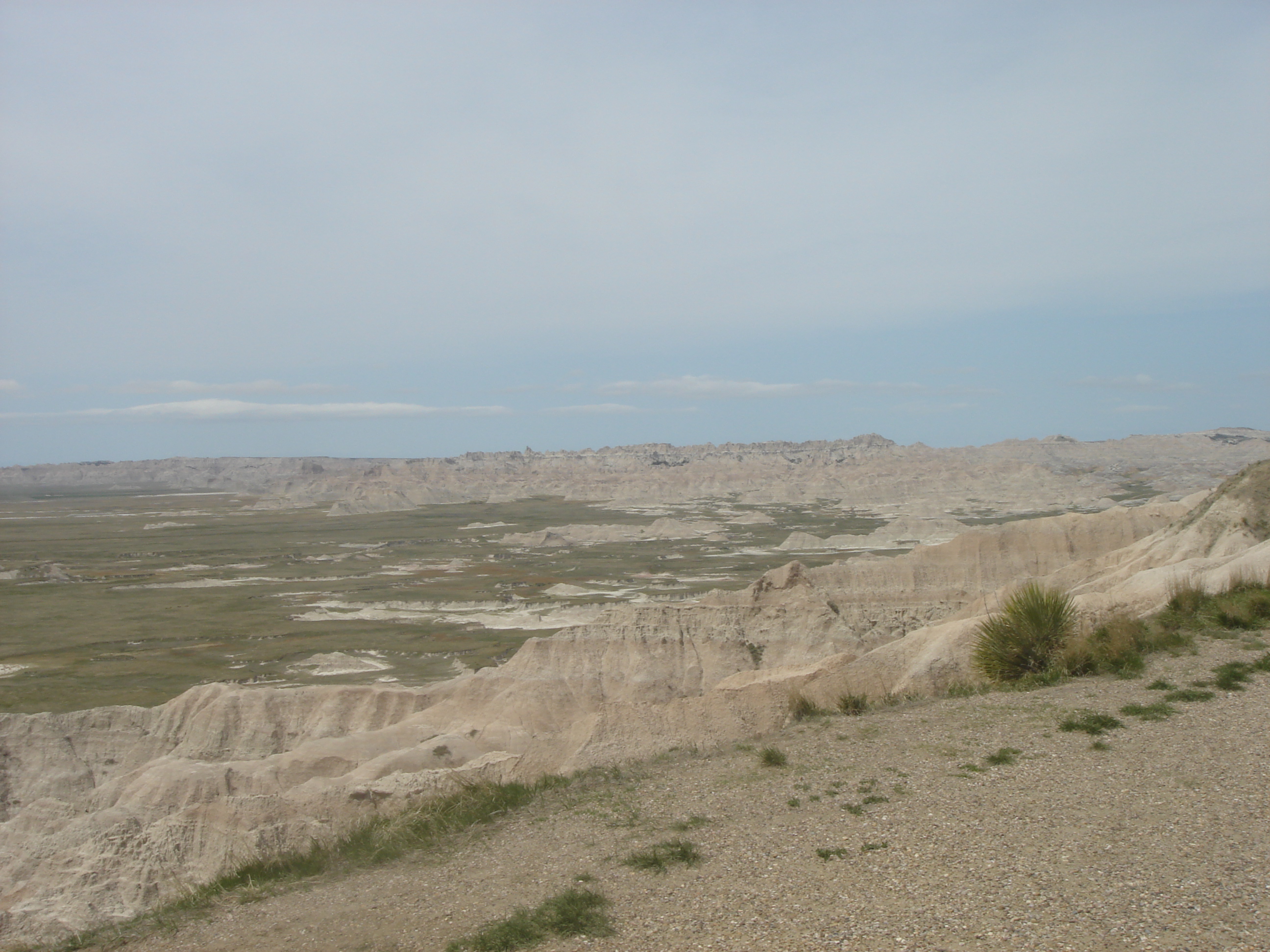
After our visit to the museum, we drove out to Jewel Cave National Park. We arrived about two hours early so we decided to take a walk that was listed as 3.5 miles (non-strenuous). Little did we know it was actually quite strenuous, as there were several dozen trees that had fallen across the paths making this a very difficult trail to navigate. We got back to the visitors center too late to take the cave tour. Neither Angie nor I wanted to stay another two hours to wait for the next tour.

We headed back to the city of Custer for lunch. We ate at the Sage Grill. A very nice little wine bar. Everything looked brand new (even the bathrooms) so we figured they just built place. Angie had a grill chicken sandwich and I had a meat-loaf sandwich.

After lunch Angie stopped at the post-office that was right next door. We picked up some postcard stamps. On the way out I noticed a flyer for the MS150 bike ride. Pretty cool that in this relatively small town they have a ride.

Crazy Horse Welcome

Back up the freeway to Crazy Horse Mountain. This is a monument to the native american indians and their heros. Several people told me before I went on this trip that this was not worth seeing. I have to disagree whole heartily. Some are put off by the price, $14 per person, but you have to remember that this monument is privately funded. The foundation refuses to accept funding from the US government or any others. Their philosophy is that this monument will be paid for and funded by those people that come to see it. This way it will truely be a monument for and by the people.

We started our tour with a history of the man who started building the monument, Korczak Ziolkowski. This gave you a better understanding of why they are building this monument and why a simple stone face has turned into a 3-D in the round monument.

Although the original sculptor is now dead his wife and children continue the project. They are committed to continuing the work their father started and will hand it down to their children. When asked “when will it be finished”, their reply is always the same… “It depends on money, weather and advances in technology” So basically, it will be done when it’s done 😉

Crazy Horse

The monument is so large mount rushmore pales in comparison. The entire mountain would fit in crazy horse’s hair. The construction crew works two eight hour shifts five days a week. They do blasting on an average of twice a week. We just missed a blast today. The visitors center has a lot of exhibits and pictures. From inside and outside in the courtyard, there is a scale model of the monument that is aligned with the actual mountain.

You can visit the living room of the family home and see some of the models and artwork. The rest of the house is off limits because it is still occupied by his wife.

After touring the visitors center we took a short bus ride up to the closer viewing area. Along this drive we saw a beaver and several marmosets. What is it with our vacation and ground rodents?

marmasets

When the mountain is done, there are plans to build a grand visitors center that will include a large cultural center as well as a University. This is a truly amazing project. I strongly encourage you to come visit this monument. Come see how it all started with one man’s vision and attitude of “What else would I do :-)”

On a side note, while touring his home we read a letter from Gutzon Borglum terminating his employment on the mount rushmore project. Apparently Gutzon wanted people who had little or no experience in sculpting so he could train them to do things his way. I guess he had too much experience carving stone to be retrainable. So this just goes to show you, when one door closes, another one opens.

I have uploaded a few images here:

Crazy Horse Image 1
Crazy Horse Image 2
Crazy Horse Image 3
Crazy Horse Image 4
Crazy Horse Image 5
Crazy Horse Image 6
Crazy Horse Image 7
Crazy Horse Image 8
Crazy Horse Image 9
Crazy Horse Image 10

After we finished touring the Crazy Horse monument we drove back up to Hill City. On the way we stopped at the US forestry office to get our passport stamp for the black hills. Just outside of the town is a the Prairie Berry Winery. We stopped in to taste some wine. This winery has some unique offerings. We both agreed that we like the cascade falls and disliked the ChokeCherry wine.

We ended up buying a few bottles to take home with us. Maybe the next time your over you can convince us to open one of them. The neat thing is that most of their wines, while listed as dry, are semi-sweet. So both Angie and I liked them.

Mt Rushmore Welcome

After wine tasting we drove back to mount rushmore. This time, everything was open so we could tour the visitor center.

First things first, we stopped at the visitors office to get our passport stamp. Then we decided to hike the 1.5 mile presidents trail. This included almost 300 steps up to the base of the rubble pile.

rushmore

We got some incredible shots of the faces of the presidents from this trail. I have listed them here for easy access:

Mount Rushmore Image 1
Mount Rushmore Image 2
Mount Rushmore Image 3
Mount Rushmore Image 4
Mount Rushmore Image 5
Mount Rushmore Image 6
Mount Rushmore Image 7
Mount Rushmore Image 8
Mount Rushmore Image 9
Mount Rushmore Image 10
Mount Rushmore Image 11
Mount Rushmore Image 12
Mount Rushmore Image 13
Mount Rushmore Image 14
Mount Rushmore Image 15
Mount Rushmore Image 16
Mount Rushmore Image 17

After spending time at the monument, we went back into keystone to hunt down dinner. We found a place we could order a pizza. The local food is not really to our liking, but I think there is a city rule that all dinners come with free all-you-can-eat soup and salad bars.

We headed back to the hotel after dinner and hit the spa to unwind from all the walking we did today.

Day 4 (Let the sightseeing begin)

Tuesday, May 2nd, 2006

Today was our first full day of sightseeing. We got up and ate breakfast at the hotel. I just love those waffle makers. Pre-measured batter poured into the griddle, turn it over and wait 2.5 minutes and presto! Waffles!

We headed out to Badlands National Park. The route there was REALLY windy. On the way there we saw a fifth wheel flipped over from the wind. A little further down, a motor home awning blew off the side of the vehicle and into the center of the highway.

On the way to the badlands we stopped at Wall Drugs in Wall, SD. This is a famous landmark and the birthplace of highway billboards. We stopped and picked up some shirts and fudge. The fudge was really good 😉

We left Wall and headed down the highway one more exit. We then turned off and entered Badlands National Park

Badlands

As we entered the park, the wind was incredible. It was all could do to prevent the park pass and id from flying out of my hand when I handed it to the ranger at the entrance gate.

We took a lot of pictures of the badlands. Rather than display them all here, I have just put links:

Badlands Image 1
Badlands Image 2
Badlands Image 3
Badlands Image 4
Badlands Image 5
Badlands Image 6
Badlands Image 7
Badlands Image 8
Badlands Image 9
Badlands Image 10
Badlands Image 11
Badlands Image 12
Badlands Image 13
Badlands Image 14
Badlands Image 15
Badlands Image 16
Badlands Image 17
Badlands Image 18
Badlands Image 19
Badlands Image 20
Badlands Image 21
Badlands Image 22
Badlands Image 23

The wind was incredible (did I say that already?). The news reported gusts of up to 51 mph today. I took a short video of the wind. You can watch by clicking on the image below:

wind thumb

Not only was it windy, but it was cold too, as demonstrated by Angie

Angie in the Badlands

After driving through the Badlands, we made it to the visitors center. We watched a short film about the badlands. While there, I was chatting with the ranger. She mentioned that earlier in the week they had 71-mph winds. The winds were so strong that it bent their flag pole.

After we finished at the visitor center, we headed out to the Minute Man National Historical Site. Unfortunately, they only do one tour a day during this period of the year. We missed the 10am tour. We chatted with the ranger. It turns out he used to work at the facility when he was in the air force. We got a very detailed education and insight to the minuteman missile program.

We headed back from the badlands and stopped back at Wall, SD for lunch. After lunch we came back a separate way. We decided to drive the Needles Highway. This highway has three more tunnels:

tunnel oneTunnel twoTunnel three

Click on the image below to watch the video:
tunnel video

Along the road, angie found some snow
Angie finds snow

snowball twosnowball one

We did not see any bison this trip along the highway, but we did see a lot of mule deer. Even on the way back to the hotel about 1 mile away, there were two deer on the side of the road eating grass. Every time we drove by, they would raise their heads and watch us drive by, then go back to eating.

After we left needles highway, we returned to the hotel. We unloaded all our souvenirs and went out to get dinner. After dinner, we drove up to Mount Rushmore. Pretty much everything but the gift shop was closed, but we were able to walk around and see the monument. We will go back tomorrow on our way back from our sightseeing. We headed back to the hotel for a well deserved night of rest.

Day 3 – Let’s get there fast then take it slow…

Monday, May 1st, 2006


We got up early and headed out, skipping breakfast. Should have stopped somewhere as we never did stop for lunch or dinner.

On our way to South Dakota we passed TONS of trains pulling full and empty ore cars.
Ore Cars

We must have seen about 200 of them. The wind while driving was pretty strong, it was blowing loose pieces of ore out of the car and into us. And those ore cars were not even moving at the time.

Ok, so I misspoke about the greenery in Wyoming.
Green Wyoming

We finally made it to South Dakota. We took a back road into the state, so we didn’t get the regular welcome sign. We will try to get it the next time we cross the border. Looks like this sign has taken a few pot shots:

Welcome to South Dakota

On our way to keystone we realized that google maps lied. It told us it would take over nine hours to arrive. We were already at our turn off at the three hour mark. We decided to go a different route and see Wind Cave National Park

wind cave sign

We signed up for the cave tour. This time of year they only offer one tour so it made our decision easy. This is the original entrance that people used to climb down. Fortunately, we didn’t have to squeeze in there 😀

cave original entry

The pictures inside the cave didn’t come out that good, so you can’t see how detailed they are. Wind Cave is quite different from other caves. Instead of stalactites and stalagmites, the cave is decorated with boxwork. Boxwork is a crystalline formation that predates the cave. It was formed when calcite filled tiny cracks within the limestone. Later, when the cave formed, water dissolved the limestone leaving behind the delicate crystal fins that now decorate the cave walls.

To date, the cave is over 120 miles long. Each year, as more of the cave is charted they add to the length of discovered passageways.

After we left Wind Cave, we saw a bunch of prairie dogs.

prairie-dog.jpg

We headed up through Custer State Park. This was a fantastic side trip. We drove by Bison and Mule Deer. At one point there was an entire heard about 5 feet from your car door.

Bison

The road winded out of Custer State park and onto route 16a. This route includes the Iron Mountain Road. A very scenic part of the highway. It has two very unique features. The first is something called The Pigtail Bridge These bridges spiral around just like a pigs tail. It was pretty impressive how well they worked.

The second feature is a set of three tunnels:

tunnel oneTunnel twoTunnel three

The view as you leave the third tunnel is incredible. You have a straight on view of Mount Rushmore. Because of the sunlight, the photo didn’t come out very well. For some reason the photo when uploaded is pixalated, but the file on disk seems to be ok.

We finally made it to keystone and to the hotel. Angie and I were both starving as we had not eaten all day, and it is now about 17:30! We find a nice family restaurant that had pretty decent food, along with an all you can eat soup and salad bar.

After dinner we went back to the hotel and took a soak in the spa before bed. Now that we are finally at our first real destination, the sightseeing can begin!

Day 2 (The long and windy roads)

Sunday, April 30th, 2006

Today we got up and had breakfast at the hotel. They had a decent amount of food. After filling up and packing the car back up we headed out onto the road.

Traveling up the 15 was pretty much the same as it was the day before. Lots of trucks and a few cars on the road. There is not much to say about this part of the trip, other than “yawn”. The country side is pretty, but it can get a little boring after seeing the same type of stuff for over 300 miles. Between the cross winds and the semi trucks it took constant concentration to keep from drifting off the highway in some spots.

We stopped in Park City Utah for lunch and gas.

Below we noticed the remains of the snow of the ski jump. We have never seen a ski jump in person.

ski jump

After lunch we headed on our way to Rawlins, Wy. On the way we stopped at a rest top and ran into our Token ground rodent we see on EVERY single trip.

squirel

We arrived at the hotel about six-ish, unpacked and grabbed some dinner. One last day of all day driving and we will be in South Dakota!